


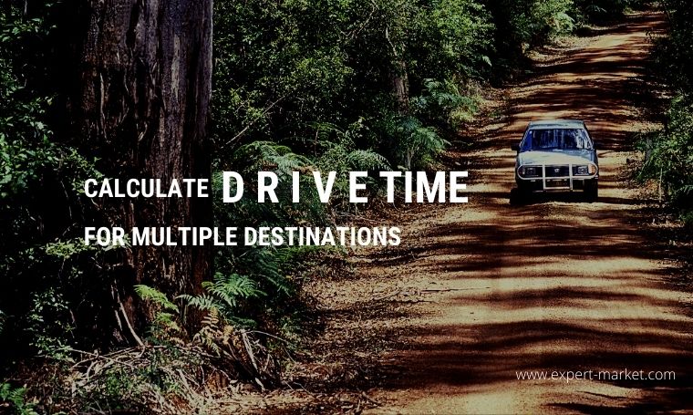
Whether you’re traveling for business or pleasure, it’s essential to plan your route and know how long it will take you to travel between multiple destinations. This is where having a route planner comes in.
Using a route optimization tool will be the key to organizing your journey to ensure that you take the fastest, most convenient path. This type of tool will help you calculate how far you can travel within a specific timeframe. It will also allow you to determine the best route for getting to your various destinations and provide the necessary information for deciding which locations can be reached inside your designated time frame.
While Google Maps is considered the app of choice for trip planning, other tools, like Maptive.com, offer additional features that are beneficial for calculating the drive time for multiple destinations. In this article, we will explore these three options so you can choose the tool that’s right for you.
Planning a Trip with Google Maps
Google Maps allows you to plot up to nine destinations on your route. This tool automatically calculates the quickest way to get from point A to point B, and so on. You can adjust the settings, so the app finds routes that match certain specifics like avoiding freeways and making fewer stops.
This app will tell you your trip mileage and driving times. It also allows you to customize your map by adding notes, photos, or videos. A downside to this app is that you have to manually enter your destinations, which can be time-consuming.
To begin planning your trip, Google will either use your current location as a starting point, or you can enter an address to start from. Underneath the starting location box will be a “Choose Destination” box. Enter your first destination in this box. Then select the three dots on the top right and select “Add Stop” from the menu. Repeat this process until you get to your last stop.
Determine Driving Time for Multiple Destinations with Maptive
If you wanted to know how many destinations you could reach if you drove an hour and a half from your starting point, then you would need the capabilities of a program like Maptive.
Maptive is a mapping program that lets you easily create a customizable Google Map. It features a tool called the Drive Time Polygon Tool that calculates how far it’s possible to travel within a specified period of time. This is particularly useful for salespeople who want to know how many potential customers they can reach within a certain amount of time.
The tool works by taking your location and travel time, analyzing road networks, and then drawing a polygon radius around your starting point. From this, you’re able to see how far one destination is from another and how many of these locations exist within various distance increments. It uses variables like one-way roads and illegal turns to make its estimated travel time more accurate. Additionally, users can add as many destinations as they want either manually or by uploading a spreadsheet.
To use this app, you’ll need a free trial account. Once you have an account, you can upload or input your destination data. Then you’ll view your map by selecting “Create Map.” From the Map Tools menu, choose the Drive Time Polygon Tool, choose your radius type, and enter your location. You will then enter your travel time, i.e., how long you want to be on the road. Click “Add Drive Time Polygon,” and the area you can travel within your specified time will appear.
Navigate up to 350 Destinations with MyRouteOnline
This tool works with GoogleMaps to let you add up to 350 addresses and then calculates the most time-efficient route. It factors in travel time and the proximity of destinations, so you avoid backtracking and wasting valuable time. This program maximizes the number of destinations you can reach by optimizing the route you take. You can also tell the application what locations are a priority and which ones can wait. It features the ability to specify how much time you intend to spend at a specific place and allows you to view an animation of your route before you start driving, so you have an idea of what to expect.
You don’t need an account to start your map. Simply add your destinations by importing a spreadsheet and click “Plan my Route.” The system will then take your location data and plan the most efficient route. Next, open up your route with the “MyRoute” app to view your route.


